
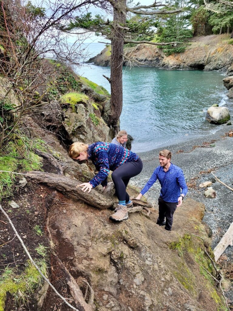
We got the incredible fortune to do our first travel PT contract in Seattle from January to July in 2022. What a way to kick off our travel physical therapy career! Seattle was incredible and a huge contrast from our city living in Houston. We managed to find a different hike to do each week and these were the best day hikes near Seattle, in our opinion. Fortunately, Kirby got to participate in all of these!!
This was a year where they had more snow later into the season than normal. We were still able to do some of these hikes in the snow, but we know that they would be beautiful in the summertime!
As with most hikes, your best bet for parking would be to go early, at an off time, or during the weekday. These hikes get busy on the weekends. We worked 4 10’s with Wednesdays off, so we were able to do the busier hikes on these days.
Check out how we pack for our day hikes here. Or follow us on Instagram here to follow along on all of our adventures.
Lake 22
- 1 hour 13 min from downtown Seattle
- 5.4 miles round trip
- 1350ft elevation gain
This is one of our favorite hikes of all time, and one that we would love to go back to do during the summer time. We hiked in March, the lake was frozen and it even snowed while we hiked! The whole hike up, there are waterfalls, mountain views, and the reward at the top is a beautiful alpine lake surrounded by mountains. It would definitely be a great lake to dive into during the summer time.
Parking: There is a small parking lot and does not appear to have much room to park along the road. You will need the Discover Pass Parking Pass or the America the Beautiful Pass works.


Bridal Veil Falls and Lake Serene
- 1 hour and 8 min from downtown Seattle
- 7.2 miles round trip to Lake Serene + 1 mile round trip to Bridal Veil Falls
- 2000ft elevation gain
You get the best of both worlds with this hike, one of the grandest waterfalls we have ever seen and a gorgeous alpine lake. We hiked back in April, the lake was frozen and we got some snow on our hike up. Bridal Veil Falls is a half mile detour off the Lake Serene Trail and definitely worth the trip. We would recommend going to falls before hiking up to the lake due to the many stairs to get there.
Parking: There is a larger parking lot here. You will need the Discover Pass Parking Pass or the America the Beautiful Pass.


Oyster Dome
- 1 hour 19 min from downtown Seattle
- 7.3 miles round trip
- 1879ft elevation gain
*Parking at the Pacific Northwest trailhead off the shoulder of Chuckanut Dr
This amazing hike takes you up to a cliff to overlook Puget Sound and some of Skagit Valley. Parking is along Chuckanut Dr and you wind your way up through the forest with a few lookouts along the way. There is a big clearing at the top of the hike to rest, have a snack and enjoy the views. I really think that you can see Canada from this point on a clear day!

“Not so pro tips”:
- Try to find time before or after your hike to drive up the beautiful Chuckanut Dr for more scenic views where subtle cliffs meet the ocean.
- If visiting in April, check out the tulip fields in Skagit Valley!
Parking: There is limited parking if parking along the shoulder of Chuckanut Dr. You do not need a pass for this.
*There is another Oyster Dome Trail route with parking at Samish Overlook Parking Area on Blanchard Mountain. This route is 5 miles and 1050ft elevation. We recommend the hike that starts at Chuckanut Dr.


Poo Poo Point – Chirico Trail
- 29 min from downtown Seattle
- 3.8 miles round trip
- 1760ft elevation gain
This was our first hike in Washington. It is the closest to downtown and an easy hike for a great reward. At the top of the trail, there is a large open space where you can relax and enjoy the view of Mount Rainier on a clear day. This is also a space where paragliders launch from. Hike a little further to the other side of the mountain to get to Poo Poo Point. If you look closely, you can see the Bellevue and maybe the Seattle skyline in the distance.
Parking: There is a parking lot right in front of the field where the paragliders land. There is also street parking and another parking lot where you can pay by Venmo.


Deception Pass State Park – Lottie Point/ Lighthouse Point/ Rosario Head
- 1 hour and 32 min from downtown Seattle
- 5 miles roundtrip
- 350ft elevation

This is the hike that gives views of the iconic Deception Pass Bridge. You start the hike along the beach on Bowman Bay and end up in a small forested area with different viewpoints of the bridge, Puget Sound, and even the Olympic Mountains on a clear day. Part of the beach was closed when we came here due to the recent birth of a baby elephant seal! To get a full Washington experience, you can drive through the rest of Whidbey Island to the Mukilteo Ferry* (be sure to stop at Penn Cove Brewing Co along the way!) and ride the ferry back towards Seattle.
*If it is the weekend, make sure that you get to the ferry early! Or, you might have to wait in line until the next ferry. This happened to us and we had to rush Erin’s sister and brother-in-law to the airport!


Honorable Mentions
Mount Si
- 41 min from downtown Seattle
- 8 miles round trip
- 3150ft of elevation
Mailbox Peak
- 41 min from downtown Seattle
- 7.5-8.0 miles round trip (lots of variance)
- 4000 ft of elevation
- This is a very challenging hike. We recommend going up the old trail, and down the new trail.
Rattlesnake Ridge
- 28 min from downtown Seattle
- 5.3 miles round trip
- 1450 ft of elevation
Wallace Falls
- 60 min from downtown Seattle
- 5.6 miles round trip
- 1300ft elevation gain


